
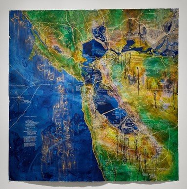


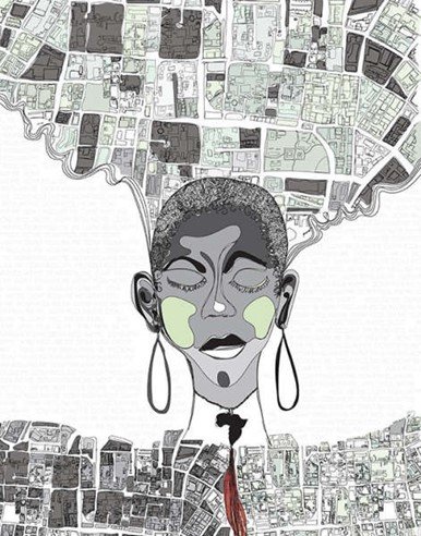


Critical Cartography
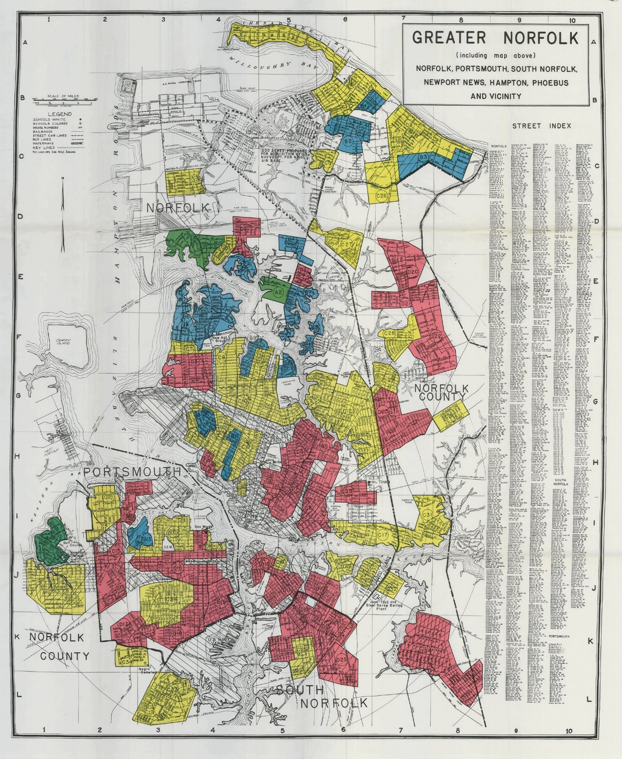
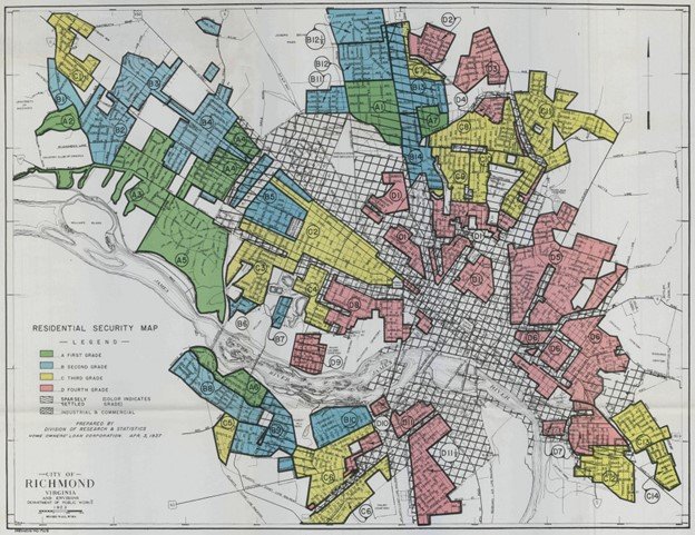
The intertwined histories of real estate redlining, racial segregation, and environmental injustice are embodied in “Residential Security” maps such as the one illustrated above representing Norfolk and Portsmouth, Virginia, produced by the federally supported Home Owners’ Loan Corporation (HOLC) in 1940. Such documents reveal how political maps can be. However, if they can reinforce environmental racism and inequity, critical cartography pushes back by using maps and other forms of spatial imagination to promote justice, knowledge, and empowerment of disenfranchised communities. This gallery explores examples of critical cartography.
1000-1098 20th St, Newport News, Virginia, 23507